Find food and things to do

More filters

Tags

Tags apply to things to do and events. "Free" can be stated by the source or inferred by us: inferred ones read "Free · inferred" in Where this comes from.

Also

Each of these comes from a named source (OpenStreetMap, county data, Metro station locations) and only matches places where that source says so. A filter with no data is not offered.

Clear

5,165 results

Where this comes from

Where this comes from

  • Food places come from Montgomery County HHS food inspection open data (dkrp-gr48), Public Domain; the inspection line is the county's own wording on that date, not a rating.
  • This is the county's record on that date, not a rating and not today's conditions.
  • Hours not listed: check with the business. Opening hours are shown only where OpenStreetMap has them, with the date we read them. Everywhere else hours are unknown: check with the business. "Open now" is shown only where those hours say so.
  • Marked "inferred" or "partly inferred": Category inferred from the business name or from Overture Maps data, not stated by the county and not verified.
  • Free · inferred: Inferred: a public park, trail or library with no entry fee listed. The source does not state that it is free; the reason is on the place page.
  • Free with no "inferred" mark: the source states it.
  • Distances are straight-line, not a walking or driving time.
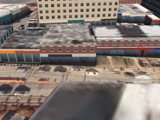
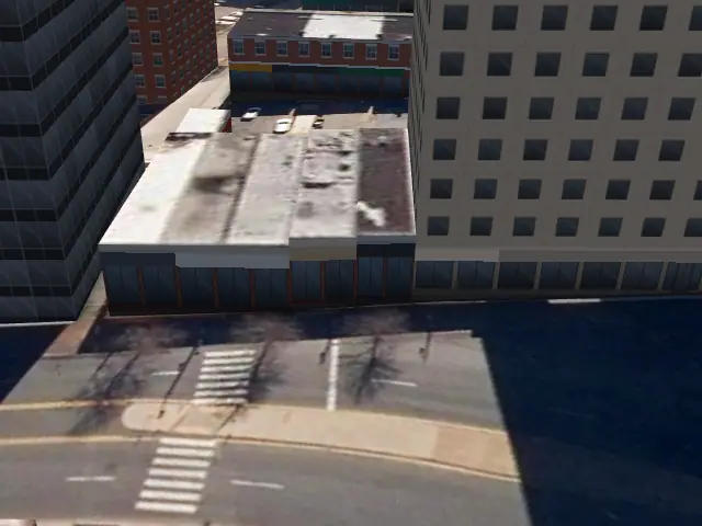
  • Pictures: a photograph credited on the picture, Aerial photo: Maryland iMAP, DoIT, State of Maryland (2023), or 3D view: MoCoMaps, from OpenStreetMap buildings on Maryland iMAP aerial imagery.
  • Nothing here is ranked, rated or paid for. No content from Google or Yelp.
  • Data: food data checked Nov 13, 2026, things to do checked Nov 13, 2026, events checked Nov 13, 2026.

Map data © OpenStreetMap contributors (ODbL). All sources · Report a problem

Nearest to Bethesda centre first. 5,232 records: a place with several records (a trail mapped in segments, two registrations at one address) is one card
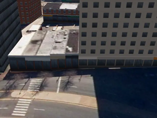
  1. Pho Tan Vinh, Silver Spring: aerial photo

    Pho Tan Vinh

    Pho · Silver Spring · 3.8 mi

  2. Matchbox Silver Spring, Silver Spring: aerial photo

    Matchbox Silver Spring

    Pizza · Silver Spring · 3.8 mi

  3. Prime Coffee & Bakery, Silver Spring: aerial photo

    Prime Coffee & Bakery

    Coffee · Silver Spring · 3.8 mi

  4. Convenience Express, Silver Spring: 3D view

    Convenience Express

    Market or grocery · Silver Spring · 3.8 mi

  5. Potbelly #036, Silver Spring: aerial photo

    Potbelly #036

    Deli and sandwiches · Silver Spring · 3.8 mi

    Open now
  6. Hug Lounge, Silver Spring: 3D view

    Hug Lounge

    Bar · Silver Spring · 3.8 mi

  7. Ivela Sports Lounge, Silver Spring: 3D view

    Ivela Sports Lounge

    Bar · Silver Spring · 3.8 mi

  8. Lamrot Bar and Restaurant, Silver Spring: 3D view

    Lamrot Bar and Restaurant

    Restaurant · Silver Spring · 3.8 mi

  9. Metropolitan Branch Trail (MD), Silver Spring: aerial photo

    Metropolitan Branch Trail (MD)

    Trail · Silver Spring · 3.8 mi

  10. Fantasticks Silver Spring, Silver Spring: aerial photo

    Fantasticks Silver Spring

    Restaurant · Silver Spring · 3.8 mi

  11. Ghar-E-Kabob, Silver Spring: 3D view

    Ghar-E-Kabob

    Mediterranean · Silver Spring · 3.8 mi

  12. Selam Garden Grill and Bar, Silver Spring: 3D view

    Selam Garden Grill and Bar

    Ethiopian · Silver Spring · 3.8 mi

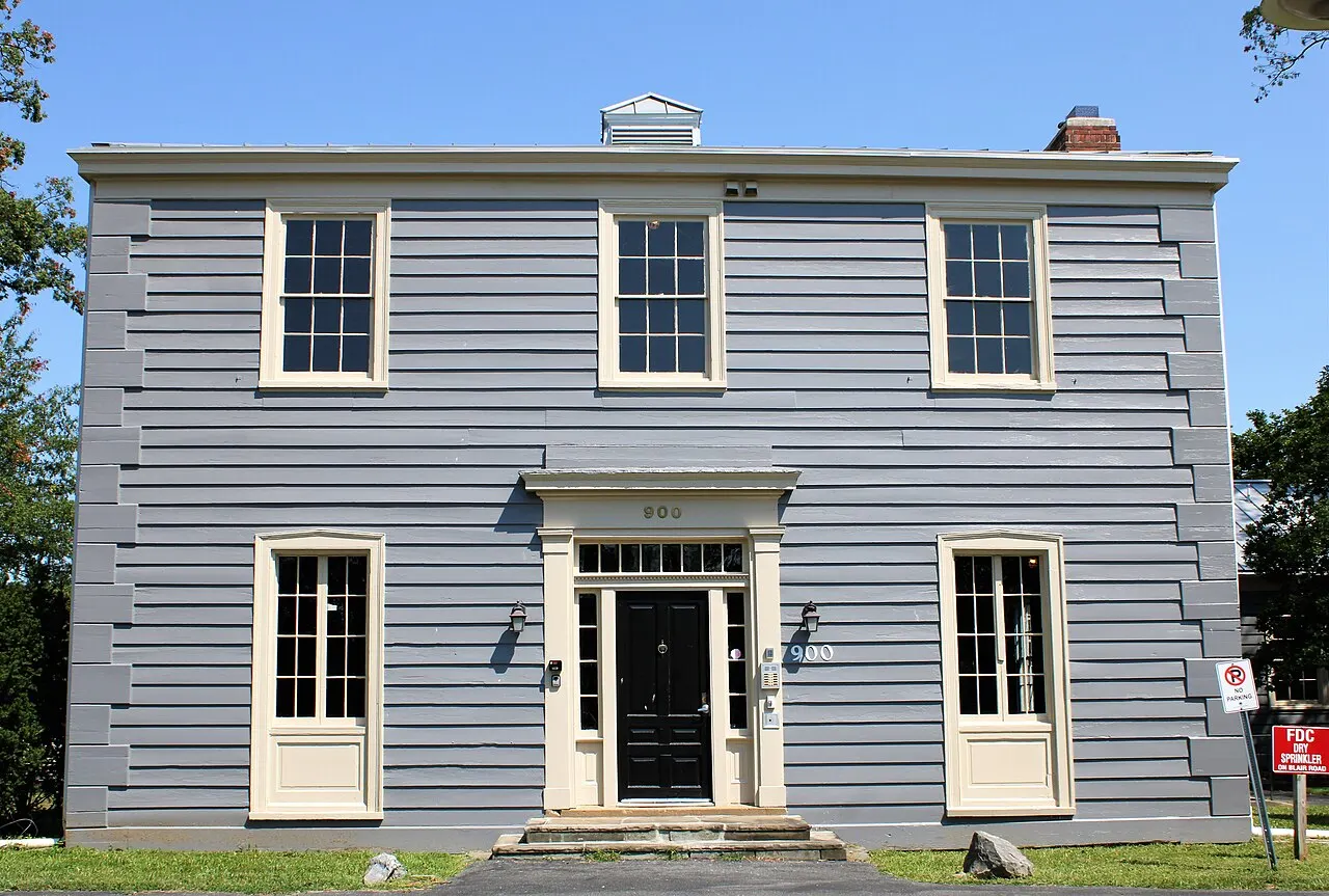
  13. Jesup Blair Park

    Park · Silver Spring · 3.8 mi

  14. Charred Oak Neighborhood Conservation Area, near Potomac: aerial photo

    Charred Oak Neighborhood Conservation Area

    Nature · near Potomac · 3.8 mi

  15. Arepas Pues, Silver Spring: aerial photo

    Arepas Pues

    Latin American · Silver Spring · 3.8 mi

  16. Sushijin Japanese Restaurant, Silver Spring: aerial photo

    Sushijin Japanese Restaurant

    Sushi · Silver Spring · 3.8 mi

  17. Buuna Market, Silver Spring: 3D view

    Buuna Market

    Market or grocery · Silver Spring · 3.8 mi

  18. Silver Spring Green Trail, Silver Spring: aerial photo

    Silver Spring Green Trail

    Trail · Silver Spring · 3.8 mi

  19. Johnny Rays, Silver Spring: aerial photo

    Johnny Rays

    Restaurant · Silver Spring · 3.8 mi

  20. Roger Miller Restaurant, Silver Spring: aerial photo

    Roger Miller Restaurant

    African · Silver Spring · 3.8 mi

    Open now

Sources · Report a problem